Project delivery: Wimmera Catchment Management Authority
Targeted outcomes:
- Environmental; Native vegetation, fish and fauna
- Economic; Town water and irrigation supply
- Social; Community connection
- Long-term monitoring
The Upper Wimmera is a local area of the Wimmera region made up of:
- the upper catchment of the Barringgi Gadyin (Wimmera River)
- the northern section of Gariwerd (Grampians National Park) in the west
- the Pyrenees range in the east.
They contain the headwaters of the major tributaries to the Wimmera River catchment.
The upper catchment is important for town water supply and for supporting important ecosystems. This includes habitats for native fish, platypus and aquatic bugs. The river also has important cultural heritage and recreational values.
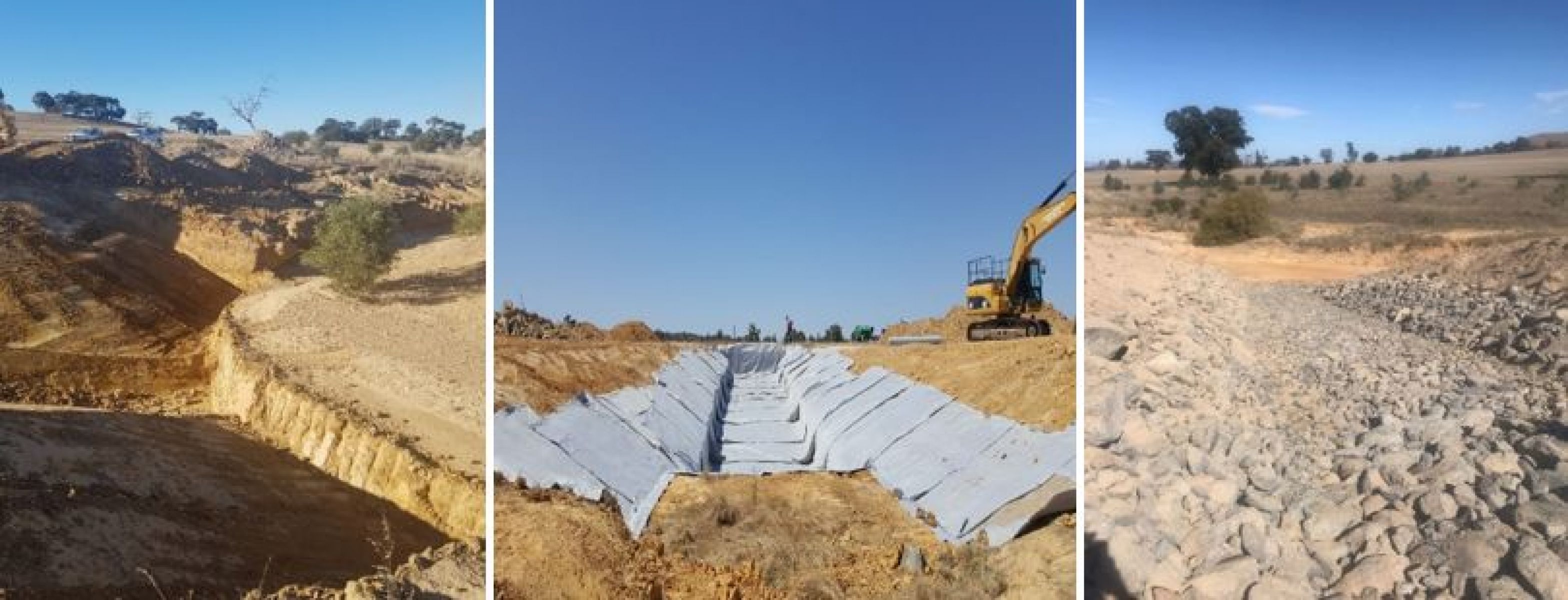
The catchment faces threats from erosion in upstream tributaries. Erosion has reduced the water quality, making it muddy, salty and lacking nutrients. Sediment infilling has reduced the suitable habitat for aquatic plant life and animals.
Restoration works
Upper Wimmera River project aims to:
- improve the extent of native streamside vegetation
- make riverbeds and banks stable to protect downstream ecosystems
- improve water quality and reduce risks of productive land loss
- maintain landholder’s awareness of river health issues
- encourage the community to get involved in management practices.
Wimmera CMA (WCMA) is leading the project. The WCMA works in partnership with landowners, community and Landcare groups.
The project installed fences, controlled pests and improved vegetation. They also installed several new erosion control structures at high priority sites.

Page last updated: 10/10/23
